Brazil
Rare Earth Projects
Tayra Rare Earth Project
Project location

Project Overview
The Tayra Rare Earth Project is an early-stage rare earth exploration opportunity in the Itarantim–Maiquinique district of southern Bahia, Brazil. Eminence Minerals has lodged three exploration licence applications covering approximately 3,697 hectares.
The applications were identified through a desktop review of publicly available geological, topographic and airborne geophysical datasets. The project is being advanced as an exploration opportunity; the geological model remains to be tested through field work and systematic exploration.
Target Generation and Geological Context
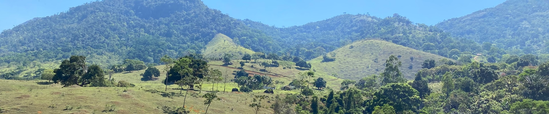
Tayra lies within the South Bahia Alkaline Province (PASEBA), on the southeastern margin of the São Francisco Craton. The application areas are mapped predominantly as the Itapetinga Complex, comprising mylonitic garnet-bearing orthogneiss.
The exploration rationale centres on the potential preservation of deeply weathered regolith, the geological environment in which ionic adsorption clay (IAC) rare earth mineralisation occurs elsewhere in the district.

Terrain and Regolith Preservation
- Approximately 84% of the application-area corridor (~3,120 ha) has an interpreted gradient of 15% or less.
- Low-relief terrain is considered favourable for preservation of deeply weathered regolith profiles.
- This is a desktop interpretation and requires field verification.

Airborne Geophysical Indicators
Public-domain airborne radiometric data identifies relative thorium-dominant areas over parts of the application corridor. These image-based observations are considered target-generation indicators only and are not a substitute for field sampling or assay data.

Regional Exploration Context
Tayra is located within the broader Itarantim–Maiquinique rare earth district. Portions of the applications are directly adjacent to exploration tenure held by IMC Rare Earths and its Itarantim Rare Earths Project, providing useful regional geological context.

Exploration Rationale
The initial program is designed to determine whether the favourable desktop indicators translate into prospective rare earth mineralisation and to establish the controls on any mineralisation identified.
- Field reconnaissance and geological mapping.
- Assessment of regolith and weathering profiles.
- Targeted soil, regolith and rock-chip sampling where warranted.
- Integration of geological, topographic and airborne geophysical datasets.
- Target generation and prioritisation.
- Follow-up auger or other drilling where supported by exploration results.
Key Technical Consideration
The presence beneath the application areas of a weatherable, rare-earth-bearing source rock has not yet been demonstrated. The application areas are mapped predominantly on orthogneiss, making protolith fertility a key technical question for the exploration program.
Strategic and Regional Advantages
- Approximately 3,697 ha across three exploration licence applications.
- Located within an established rare earth exploration district in southern Bahia.
- Desktop-defined low-relief terrain offering areas where deeply weathered regolith may be preserved.
- Access to public geological, topographic and airborne geophysical datasets for target generation.
- Adjacent to active rare earth exploration tenure, providing regional geological context.
Current Status and Next Steps
The three exploration licence applications have been lodged with Brazil’s Agência Nacional de Mineração (ANM) and remain pending. Grant of the licences is subject to the applicable Brazilian regulatory processes.